| Because You Asked . . . . | |||||
 |
|||||
|
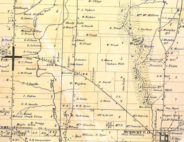
1866 Map of Berkshire Township from Berkshire Corners to Sunbury |
|||||
|
Stream Carries Prairie Name |
|||||
| Prairie Run got its name from the small
prairie in Berkshire Township when the settlers first came to Ohio. The
stream runs from northern Berkshire Township through Sunbury near
Community Library and Sunbury Memorial Park and empties into the Big Walnut Creek
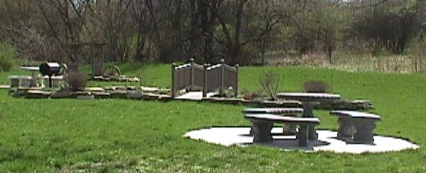
In Baskins 1880 History of Delaware County, the prairie is described as a low piece of ground about a half mile long reaching up to a half-mile in the widest part. Early settlers felt a beaver dam helped by fallen timbers kept the area wet and prevented a natural growth of forest here. The area around it was frequently flooded. Springs are common along this area. At one time the prairie was a resort to an immense flocks of pigeons. Salt provided a deer lick. This made good hunting spot for the settlers. The prairie has been drained and farmed but Prairie Run still flows. The salt lick still attracts deer causing many accidents on Route 61 north of Sunbury. Prairie Run now flows through Sunbury instead of west of it as on the 1866 Beers map. The village has a small picnic park along its bank west of Evening Street. Soon a new bridge will span the run connecting west Granville Street to downtown. |
|||||
|
. . . .And Now You
Know
|
|||||
|
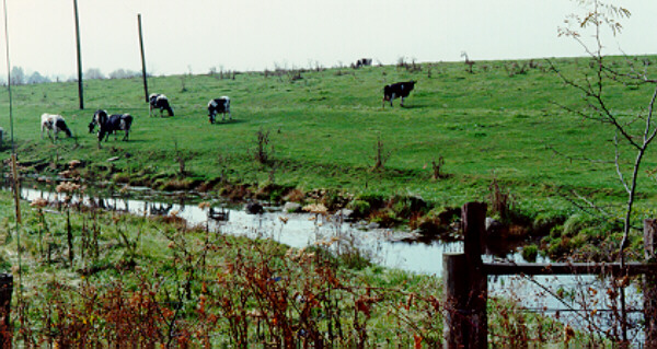
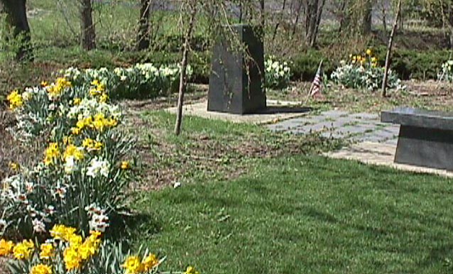
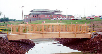
Prairie Run Is Backdrop for Scenic Parks |
|||||
|
Sunbury Memorial Park |
|
|
|
||
 |
Cowfield, now home of Community Library |
Walking Bridge |
|
||
| Return to Local History Index |
(04/01/2006 ) |
||||