|
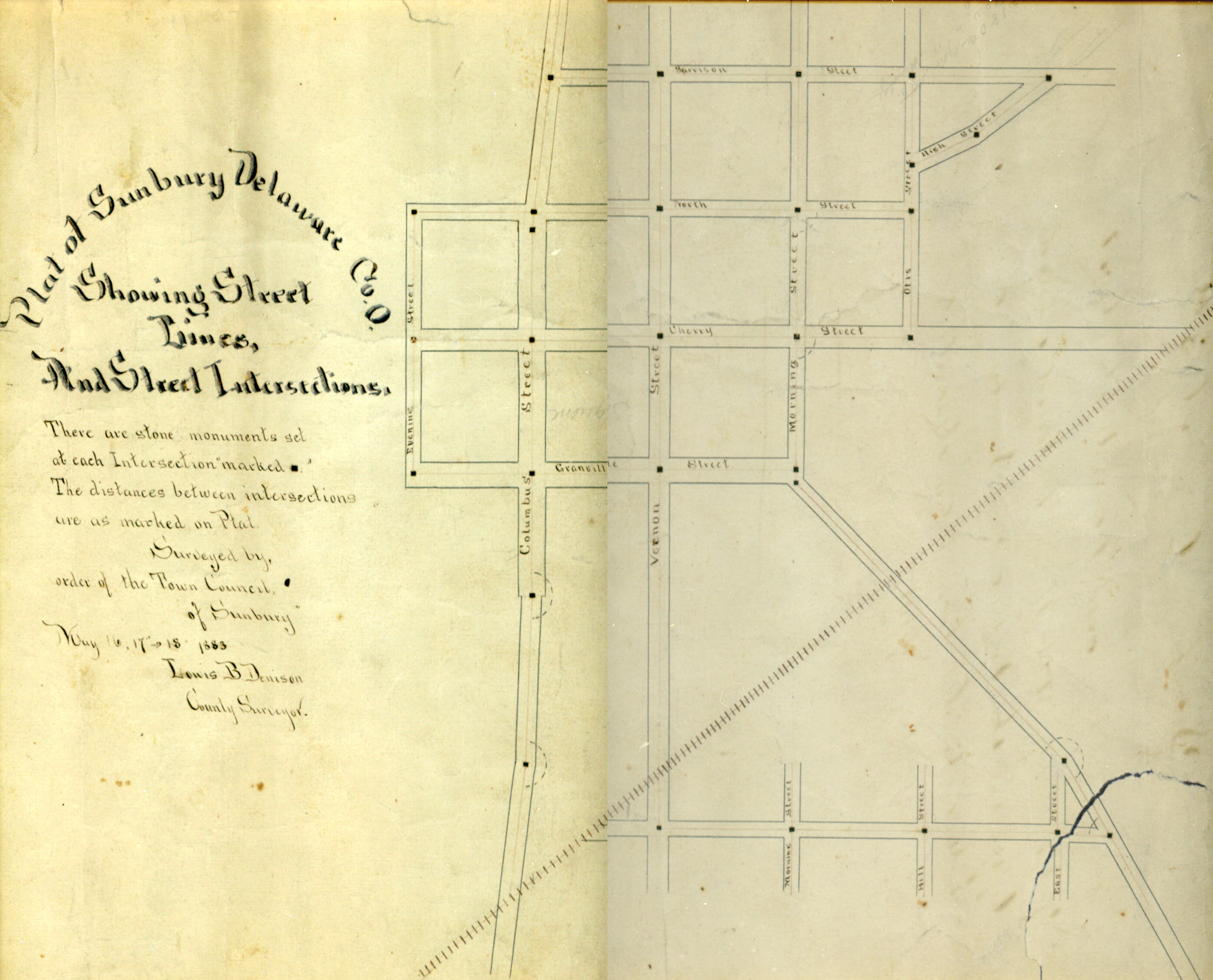
1883-Plat of Sunbury with Street Lines and Intersections |
|||||||
 |
|||||||
| Note 5 crossings of the railroad which went though
in 1873. Square stones were imbedded in the intersections of the streets There is a stone in the Columbus Street for the proposed South Street intersection but the road was never opened to Morning Street as on the original 1816 plat map. THERE WAS ANOTHER NAMELESS STREET PROPOSED EAST FROM COLUMBUS STREET. This is probably the curve in Vernon Street in 2016. The Letts addition is on the map as the southern most street |
|||||||
| Return to
Local History Index Return to Local Maps |
(10/11/2016) |
||||||